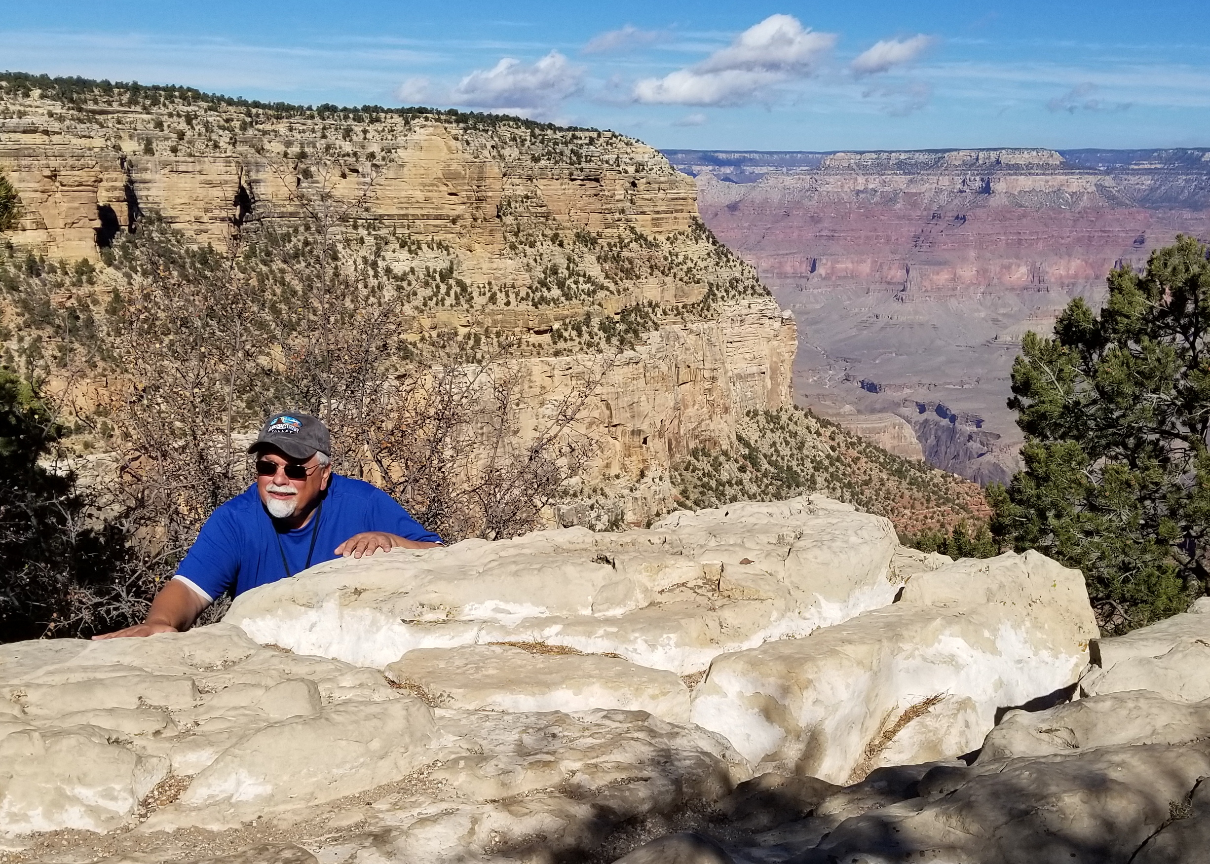
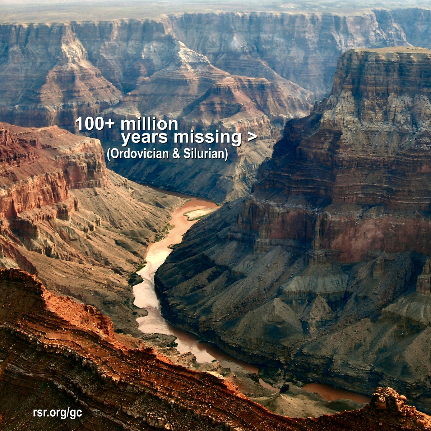
The geological layers over an area apparently greater in extent than ten-thousand square miles have an overwhelming characteristic of "flat gap" parallel boundaries between the layers in and far beyond the Grand Canyon. Such "paraconformities", as they are called, generally lack evidence of erosion. And to the extent that the boundaries are parallel, they not only lack evidence of erosion, but they also lack uneven deposition of sediments, even over thousands of square miles! In this way, these flat gaps call into question the claim that these sediments were deposited over a 250-million year period! In our RSR Grand Canyon series, see more about this problem (at rsr.org/gc2) and its solution which is rapid deposition and liquefaction (at 25 minutes into rsr.org/gc4.)


* Want More? See thousands of more photos showing the "flat gap" parallel lines of the conforming strata with their missing erosion and lack of uneven deposits which make up a characteristic feature of the layers of the Grand Canyon region!
* SAME STORY, AROUND THE WORLD: First, from Devil's Kitchen, Tasmania...

Then from Honeycomb Buttes, Wyoming...
Then from Powder River Basin, Wyoming:
And next from the Badlands, South Dakota:

And from Carbon, Utah: (or see this in higher resolution)
* Elsewhere? Like in Galicia Spain, Hunstanton Cliffs UK, Salta Argentina, Balkhash District, Kazakhstan, Porthkerry Wales, Haystack Butte, Montana, and a thousand other places? Just click here. Then for a different perspective, unbroken gently-curved strata of course provides additional evidence of rapid deposition, as shown in this RSR collection of photographs from around the world of curved, folded, and more flat-gap strata.
* URL Shortcut: The shortcut for this page showing parallel strata is rsr.org/ps.


